An Innovative Animated Map Database
Try or Order The Map As History Today!
We use narration and multimedia technology to bring history into your classroom, and render it a much more approachable subject. To date, we have published over 200 animated maps, making us the world’s largest animated online atlas. We also create helpful timelines, which use maps and other documents to put history in context!
Usage: As prepwork before class to introduce the lesson, during class time to enrich and diversify learning, or as a homework exercise
The Map As History Database Features
Watch One of Our Maps
Check Out Our Topics
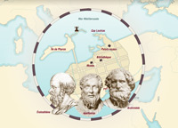
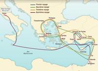
Ancient Greece
16 animated maps.
Read more
Read less
American History
12 animated maps.
Read more
Read less
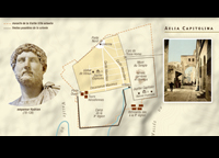
Rome and its Empire
6 animated maps.
Read more
Read less
History of Christianity
4 animated maps.
Read more
Read less
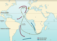
The Age of Discovery
16 animated maps.
Read more
Read less
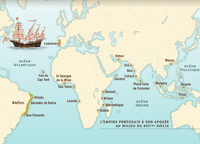
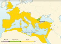
The Portuguese and Spanish Empires
12 animated maps.
Read more
The first colonial empires made a deep impact on the peoples living in these regions, particularly in America and Africa.
Read less
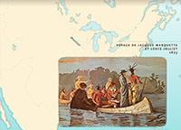
European Colonies in North America
7 animated maps.
Read more
In the second half of the 18th century, the British had obtained control over the most territory on the American East Coast, but they had to face rising discontent from the 13 colonies.
Read less

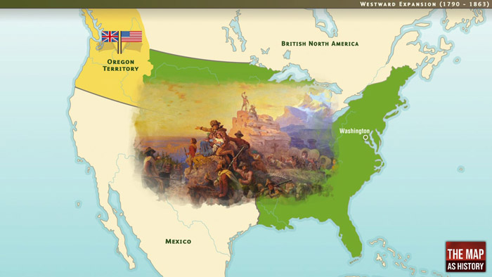
The United States: A Territorial History
17 animated maps.
Read more
Read less
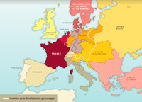
Europe and Nations, 1815-1914
24 animated maps.
Read more
Read less
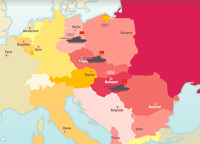
Europe and Nations, 1918-1942
19 animated maps.
Read more
Read less
Europe and Nations, 1945-2005
16 animated maps.
Read more
Read less
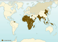
Europe’s Colonial Expansion in the 19th and 20th Centuries
19 animated maps.
Read more
Read less
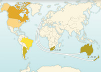
Decolonization after 1945
14 animated maps.
Read more
Read less
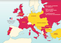
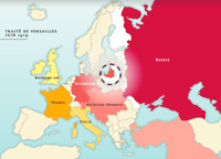
The First World War, 1914-1918
20 animated maps.
Read more
Read less
The Second World War, 1939-1945
15 animated maps.
Read more
Read less
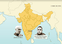
History of India Since Independence in 1947
5 animated maps.
Read more
Read less
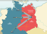
The Cold War and Confrontation between East and West
9 animated maps.
Read more
Read less
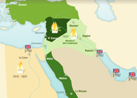
The Middle East since the beginning of the 20th century
18 animated maps.
Read more
Read less
Order The Map As History Today!
Licensing and Access
Renewal Required
Lifetime Access
Simultaneous Access
Multi-School Discounts
Multi-Year Discounts
Content Correlation
Teacher Resources
Renewal Required: You must renew this subscription every year.
Lifetime Access: You only need to purchase this product one time.
Simultaneous Access: More than one person can use this product at the same time.
Multi-School Incremental Discounts: Discounts available if purchasing for more than one school/location. Contact Mackin for discount information at eservices@mackin.com.
Multi-Year Discounts: Discounts available if purchasing for more than one consecutive year. Contact Mackin for discount information at eservices@mackin.com.
Content Correlation: NF=Nonfiction F=Fiction
Internet access and any browser (Chrome, Firefox, Safari, Internet Explorer).